-------------------------------------- -- Main Menu -- Home Skuttlers New Hole Weather Zone Google EBay Topo Web -------------------------------------- -- Tectonics -- Earthquakes Mount St. Helens Cam Mount St. Helens Research -------------------------------------- -- Satellite Trecking -- NOAA Current Infrared Current Colur Infrared Current Visible . Current Water Vapor Current Wind & Vapor . Current Event High-Res . Regional Images Siding Spring Observatory . Auroral Activity . JCU MetSat GMS Current Weather Pictures . -------------------------------------- -- Radar Trecking -- Moree 256km Grafton 256km Newcastle 256km Sydney 256km Canberra 256km -------------------------------------- -- Lighnting Trackers -- North Coast Water Foster 600km Kattron National Activity VLF Long Range Detection -------------------------------------- -- Weather Tracking -- Weather Zone Weather Down Under Australian Severe Weather Downunder Chasing Mean Sea Level Pressure -------------------------------------- -- Weather Cams -- Newcastle Surf Cam Maitland Cam & Weather Singleton Weather Cam -------------------------------------- -- Water Links -- Hunter Water Quality CSIRO SST map of Australia Mean Sea Surface Temperatures

                 
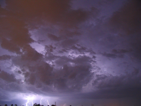
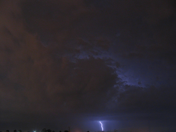
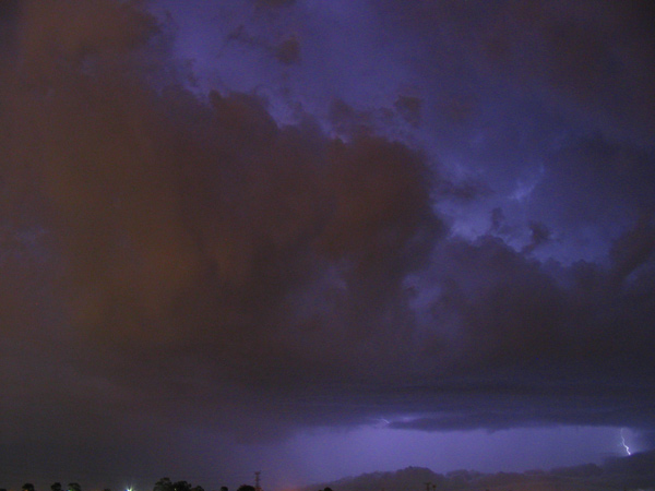
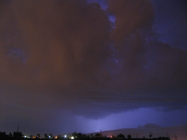
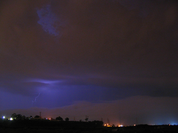
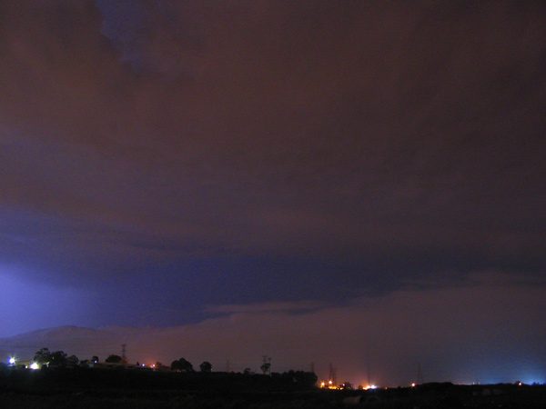
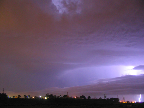
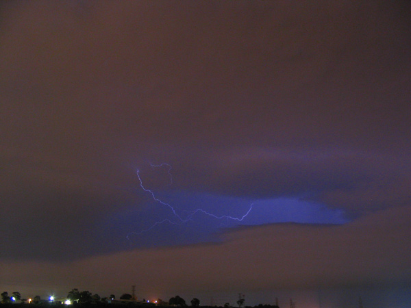
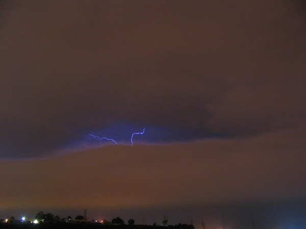
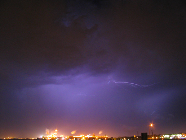
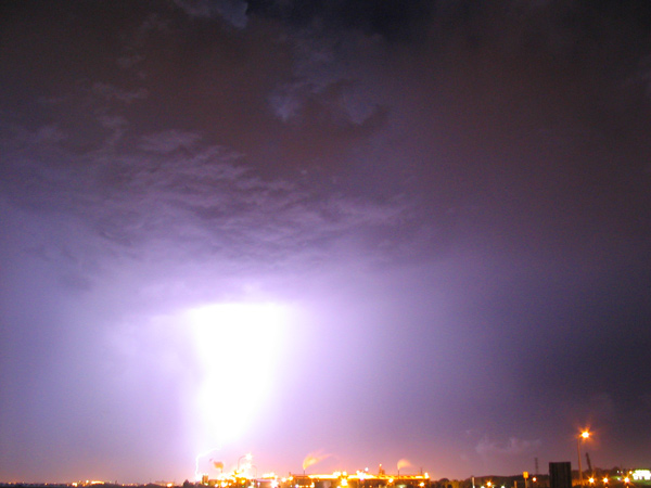
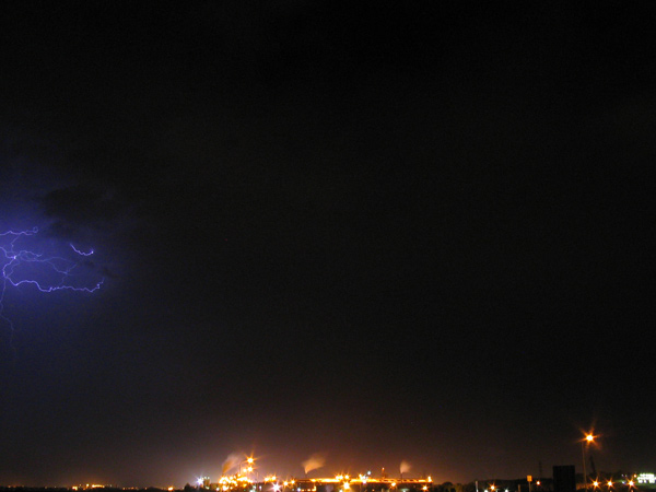
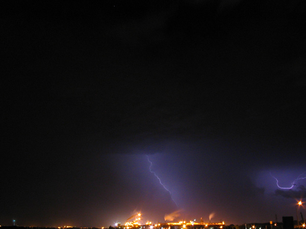
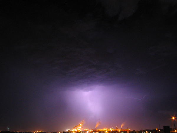
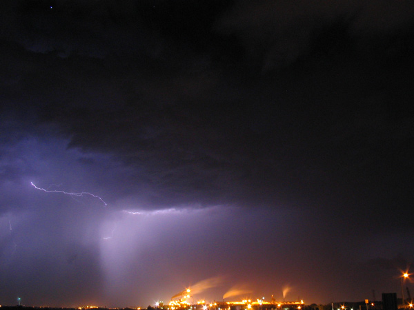
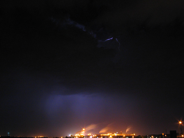
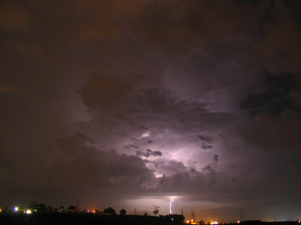
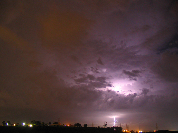
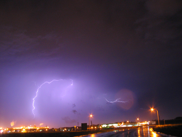
13-12-2004 - Cessnock to Stockton Mayfield North (Old Boral Yard) - Canon A70(2) - F8.0 to F2.4 - 15 sec exposures - A storm started-up over Cessnock out of nothing forseeable on the radar after a day of many storms rolling throu (and many pics{up soon}) Anyway i left in seconds and set up the cams just in time (And the show started) I got these pics before the rain band which lasted 5 mins I will need to update my digi cam as i missed 3 strikes out of 4 whilst the cam was thinking - Heres one fron in the car whilst raining and hand held 15 sec exp --- And Here are some nice pics of the back of the storm after the rain stoped --- Slide film pics to come soon.... TheSkyGuy
TheSkyGuy Storm Chasing